


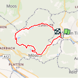


9.4 km | 14.1 km-effort

User


FREE GPS app for hiking
 SityTrail
IGN / Geographical institutes
SityTrail World
The world is yours!
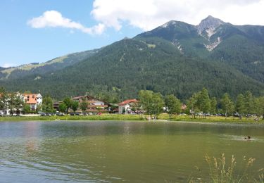
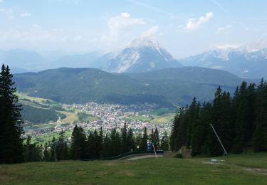
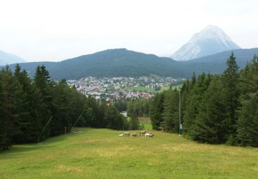
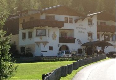
Trail Walking of 13.7 km to be discovered at Tyrol, Bezirk Innsbruck-Land, Gemeinde Seefeld in Tirol. This trail is proposed by VacheKiri67.
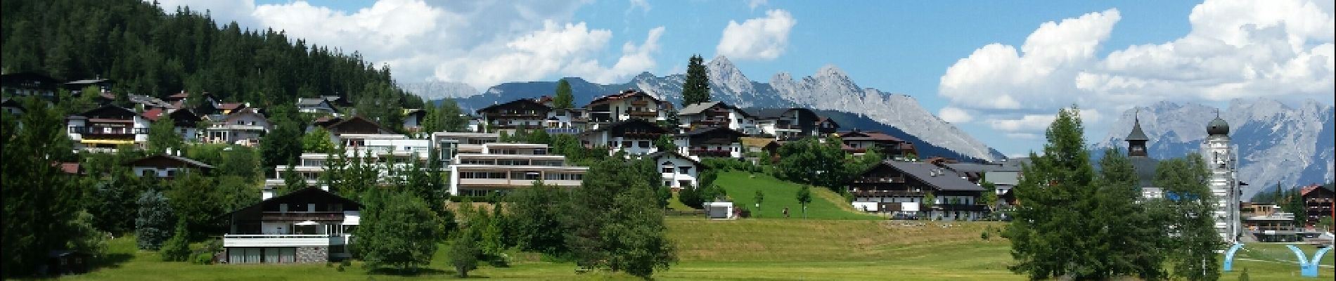
Faite le 21/07/2015 avec notre fils de 10 ans. Randonnée guidée gratuite proposée par Sport Aktiv et les hotels de Seefeld.


Walking
Walking
Walking
Walking
Walking
Walking
Walking
Walking
Walking
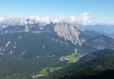
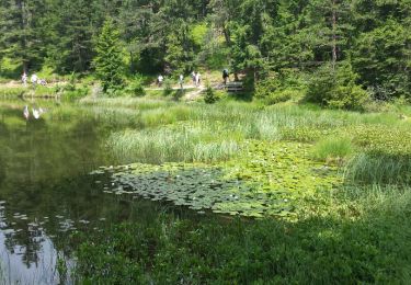
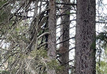
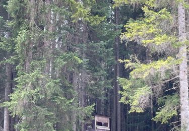
Découverte des lacs de Seefeld.